2012
NR3645 : Port Ellen
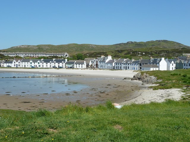
taken 12 years ago, near to Port Ellen, Islay, Argyll And Bute, Scotland
This is 1 of 9 images, with title Port Ellen in this square
Port Ellen
Port Ellen is a very attractive small town on the southern coast of Islay, though the bay faces westwards. It has a slightly larger population than the island's administrative capital, Bowmore, making it the largest town on the island, but still having a population of under a thousand. It has one of the two ports that CalMac ferries from Kennacraig dock at, the other being Port Askaig towards the north of the eastern coast of the island. The road that leads out of the town to the east has several distilleries along it, and there is a large whisky maltings on the northern edge of the town.
See NR3645 : Port Ellen and Loch Leòdamais for a slightly wider view.
See NR3645 : Port Ellen and Loch Leòdamais for a slightly wider view.
 Map © Crown Copyright")
TIP: Click the map for more Large scale mapping
- Grid Square
- NR3645, 160 images (more nearby 🔍)
- Photographer
- Rob Farrow (more nearby)
- Date Taken
- Sunday, 27 May, 2012 (more nearby)
- Submitted
- Friday, 1 June, 2012
- Subject Location
-
OSGB36:
 NR 366 452 [100m precision]
WGS84: 55:37.7527N 6:11.0836W - Camera Location
-
OSGB36: NR 367 450
- View Direction
- North-northwest (about 337 degrees)