2012
SD3249 : Wreck trek marker flag with Fleetwood ahead
taken 12 years ago, 3 km from Fleetwood, Lancashire, England
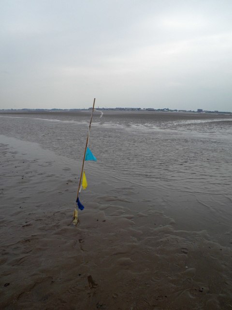
Wreck trek marker flag with Fleetwood ahead
Organised by the Fleetwood RNLI this escorted walk is out on the sands to the disused Wyre light and is a round trip of 4 miles with some wading through gullies.
The light was built in 1840 and was designed by the blind Irish Engineer Alexander Mitchell. In 1948 the lighthouse was destroyed by fire.
The light was built in 1840 and was designed by the blind Irish Engineer Alexander Mitchell. In 1948 the lighthouse was destroyed by fire.
 Map © Crown Copyright")
TIP: Click the map for more Large scale mapping
- Grid Square
- SD3249, 6 images (more nearby 🔍)
- Photographer
- Steve Fareham (more nearby)
- Date Taken
- Saturday, 2 June, 2012 (more nearby)
- Submitted
- Sunday, 3 June, 2012
- Subject Location
-
OSGB36:
 SD 32549 49624 [1m precision]
WGS84: 53:56.2990N 3:1.7378W - Camera Location
-
OSGB36: SD 3255 4965
- View Direction
- SOUTH (about 180 degrees)