2012
NZ2184 : Protected crop field near Hepscott
taken 12 years ago, near to Hepscott, Northumberland, England
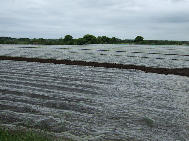
Protected crop field near Hepscott
 Map © Crown Copyright")
TIP: Click the map for more Large scale mapping
- Grid Square
- NZ2184, 8 images (more nearby 🔍)
- Photographer
- JThomas (more nearby)
- Date Taken
- Saturday, 2 June, 2012 (more nearby)
- Submitted
- Monday, 4 June, 2012
- Subject Location
-
OSGB36:
 NZ 2190 8494 [10m precision]
WGS84: 55:9.4985N 1:39.4703W - Camera Location
-
OSGB36: NZ 21933 84984
- View Direction
- Southwest (about 225 degrees)