2012
SP2054 : Southern end of the Recreation Ground
taken 12 years ago, near to Stratford-Upon-Avon, Warwickshire, England
This is 1 of 2 images, with title starting with Southern in this square
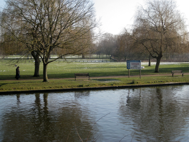
Southern end of the Recreation Ground
The sign warns boats that they are approaching a weir and a lock. The view is across the River Avon from Holy Trinity churchyard.
 Map © Crown Copyright")
TIP: Click the map for more Large scale mapping
- Grid Square
- SP2054, 1942 images (more nearby 🔍)
- Photographer
- Robin Stott (more nearby)
- Date Taken
- Saturday, 11 February, 2012 (more nearby)
- Submitted
- Tuesday, 5 June, 2012
- Subject Location
-
OSGB36:
 SP 2027 5430 [10m precision]
WGS84: 52:11.1946N 1:42.2957W - Camera Location
-
OSGB36: SP 2014 5433
- View Direction
- East-southeast (about 112 degrees)