2012
NH2254 : Peat banks north-west of Cnap na Feola above Strathconon
taken 12 years ago, 3 km from Scardroy, Highland, Scotland
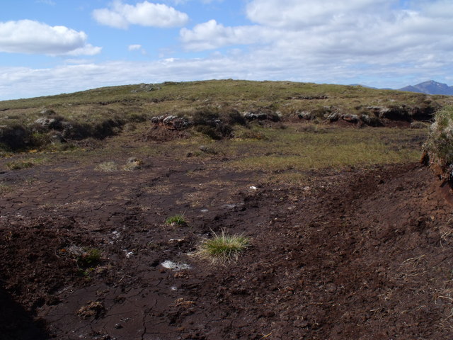
Peat banks north-west of Cnap na Feola above Strathconon
 Map © Crown Copyright")
TIP: Click the map for more Large scale mapping
- Grid Square
- NH2254, 14 images (more nearby 🔍)
- Photographer
- ian shiell (more nearby)
- Date Taken
- Saturday, 2 June, 2012 (more nearby)
- Submitted
- Tuesday, 5 June, 2012
- Subject Location
-
OSGB36:
 NH 2207 5431 [10m precision]
WGS84: 57:32.6280N 4:58.4770W - Camera Location
-
OSGB36: NH 2209 5429
- View Direction
- West-northwest (about 292 degrees)