2012
NX4740 : White Port
taken 12 years ago, 3 km from Whithorn, Dumfries And Galloway, Scotland
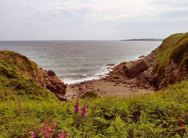
White Port
This cove at the port would have been used for small fishing boats working out in Wigtown Bay. Cairn Head is on the horizon.
 Map © Crown Copyright")
TIP: Click the map for more Large scale mapping
- Grid Square
- NX4740, 32 images (more nearby 🔍)
- Photographer
- Andy Farrington (more nearby)
- Date Taken
- Thursday, 14 June, 2012 (more nearby)
- Submitted
- Saturday, 16 June, 2012
- Subject Location
-
OSGB36:
 NX 4790 4050 [10m precision]
WGS84: 54:44.1835N 4:21.8366W - Camera Location
-
OSGB36: NX 47882 40542
- View Direction
- South-southeast (about 157 degrees)