TQ4822 : Stables, Buxted Park
taken 12 years ago, near to Ringles Cross, East Sussex, England
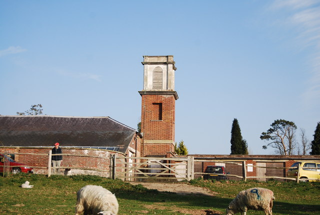
The manor house, known as Buxted Park, was purchased by the then Prime Minister, the Earl of Liverpool, in the early part of the 19th century. He set about extending the park surrounding the house, and eventually coerced the villagers to vacate their own houses to enable him to do so. The village (although not the church) was cleared away and the village then took up its present location. By 1836 the entire original village centre was no more, having been relocated to the site it occupies today. Some of the outlying houses pre-date this move, such as Britts, a 17th-century farmhouse, which still stands. The original manor house was built further down the hill next to the railway where Queen Victoria once visited - the house being the Chequers of its day. The original house burnt down in the latter part of the 19th century and was rebuilt in its present location. Buxted Park is an Old Deer park.
 Map © Crown Copyright")
- Grid Square
- TQ4822, 44 images (more nearby 🔍)
- Photographer
- N Chadwick (more nearby)
- Date Taken
- Monday, 2 April, 2012 (more nearby)
- Submitted
- Saturday, 16 June, 2012
- Subject Location
-
OSGB36:
 TQ 4845 2278 [10m precision]
WGS84: 50:59.1174N 0:6.8150E - Camera Location
-
OSGB36: TQ 4841 2279
- View Direction
- East-southeast (about 112 degrees)