2006
ST3998 : Under the A449
taken 17 years ago, near to Llanllowell, Monmouthshire/Sir Fynwy, Wales
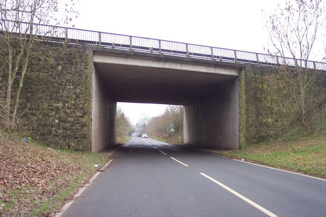
Under the A449
 Map © Crown Copyright")
TIP: Click the map for more Large scale mapping
- Grid Square
- ST3998, 80 images (more nearby 🔍)
- Photographer
- Jonathan Billinger (more nearby)
- Date Taken
- Wednesday, 27 December, 2006 (more nearby)
- Submitted
- Thursday, 28 December, 2006
- Subject Location
-
OSGB36:
 ST 395 985 [100m precision]
WGS84: 51:40.9192N 2:52.5881W - Camera Location
-
OSGB36: ST 395 984
- View Direction
- West-northwest (about 292 degrees)