2012
NY4414 : Rampsgill Beck eroding the valley sides
taken 12 years ago, near to Dale Head, Cumbria, England
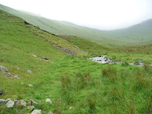
Rampsgill Beck eroding the valley sides
Most of the time the beck runs through flat land.
 Map © Crown Copyright")
TIP: Click the map for more Large scale mapping
- Grid Square
- NY4414, 24 images (more nearby 🔍)
- Photographer
- Christine Johnstone (more nearby)
- Date Taken
- Friday, 15 June, 2012 (more nearby)
- Submitted
- Thursday, 21 June, 2012
- Subject Location
-
OSGB36:
 NY 4405 1488 [10m precision]
WGS84: 54:31.5659N 2:51.9592W - Camera Location
-
OSGB36: NY 4405 1489
- View Direction
- SOUTH (about 180 degrees)