2012
SE0023 : Upper Lumb Lane
taken 12 years ago, near to Cragg Vale, Calderdale, England
This is 1 of 4 images, with title Upper Lumb Lane in this square
Upper Lumb Lane
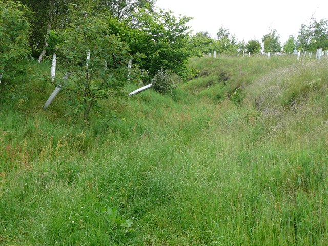
Above Upper Lumb Farm the lane (Hebden Royd FP86) is a hollow-way. There are recent plantations on each side.
 Map © Crown Copyright")
TIP: Click the map for more Large scale mapping
- Grid Square
- SE0023, 266 images (more nearby 🔍)
- Photographer
- Humphrey Bolton (more nearby)
- Date Taken
- Tuesday, 19 June, 2012 (more nearby)
- Submitted
- Saturday, 23 June, 2012
- Subject Location
-
OSGB36:
 SE 0011 2383 [10m precision]
WGS84: 53:42.6535N 1:59.9887W - Camera Location
-
OSGB36: SE 0011 2383
- View Direction
- North-northwest (about 337 degrees)