2012
SP9341 : Path to Leys Farm
taken 12 years ago, near to Wharley End, Central Bedfordshire, England
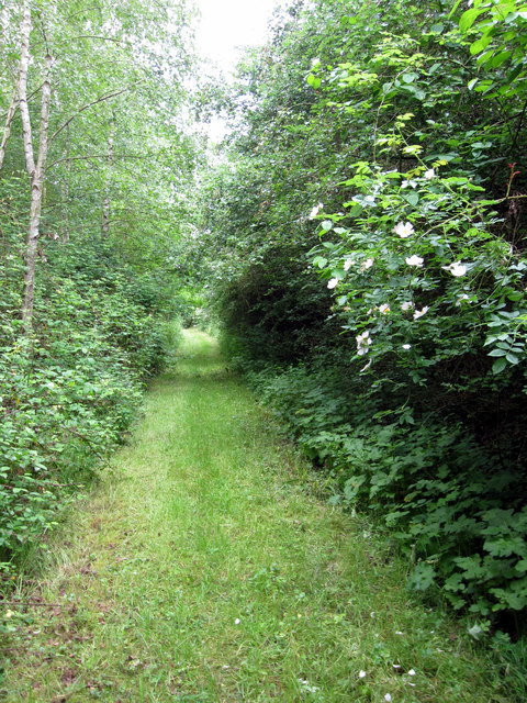
Path to Leys Farm
 Map © Crown Copyright")
TIP: Click the map for more Large scale mapping
- Grid Square
- SP9341, 9 images (more nearby 🔍)
- Photographer
- Philip Jeffrey (more nearby)
- Date Taken
- Thursday, 28 June, 2012 (more nearby)
- Submitted
- Thursday, 28 June, 2012
- Subject Location
-
OSGB36:
 SP 9375 4125 [10m precision]
WGS84: 52:3.7023N 0:38.0357W - Camera Location
-
OSGB36: SP 9378 4125
- View Direction
- WEST (about 270 degrees)