2012
NY5146 : Road junction east of Armathwaite
taken 12 years ago, near to Armathwaite, Cumbria, England
This is 1 of 2 images, with title Road junction east of Armathwaite in this square
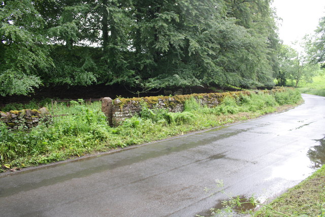
Road junction east of Armathwaite
There is an OS benchmark NY5146 : Benchmark on gatepost east of Armathwaite on the gatepost
 Map © Crown Copyright")
TIP: Click the map for more Large scale mapping
- Grid Square
- NY5146, 23 images (more nearby 🔍)
- Photographer
- Roger Templeman (more nearby)
- Date Taken
- Saturday, 16 June, 2012 (more nearby)
- Submitted
- Monday, 2 July, 2012
- Subject Location
-
OSGB36:
 NY 5105 4602 [10m precision]
WGS84: 54:48.3987N 2:45.7843W - Camera Location
-
OSGB36: NY 5103 4601
- View Direction
- Northeast (about 45 degrees)