2006
TG1519 : Norfolk Farmland
taken 18 years ago, near to Haveringland, Norfolk, England
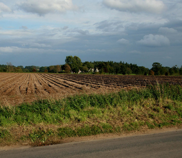
Norfolk Farmland
Looking from Mill Lane, across newly ploughed fields to cottages on Haveringland Rd.
 Map © Crown Copyright")
TIP: Click the map for more Large scale mapping
- Grid Square
- TG1519, 19 images (more nearby 🔍)
- Photographer
- Jurek and Trish Sienkiewicz (more nearby)
- Date Taken
- Friday, 29 September, 2006 (more nearby)
- Submitted
- Monday, 1 January, 2007
- Subject Location
-
OSGB36:
 TG 155 198 [100m precision]
WGS84: 52:43.9723N 1:11.4223E - Camera Location
-
OSGB36: TG 152 198
- View Direction
- EAST (about 90 degrees)