2012
TF2056 : Mill Drain
taken 12 years ago, near to Tattershall Bridge, Lincolnshire, England
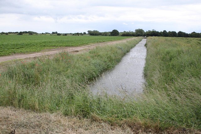
Mill Drain
This was the main drain to the preserved Dogdyke Pumping Station, which was having an open day.
 Map © Crown Copyright")
TIP: Click the map for more Large scale mapping
- Grid Square
- TF2056, 32 images (more nearby 🔍)
- Photographer
- Alan Murray-Rust (more nearby)
- Date Taken
- Sunday, 1 July, 2012 (more nearby)
- Submitted
- Tuesday, 3 July, 2012
- Subject Location
-
OSGB36:
 TF 2037 5606 [10m precision]
WGS84: 53:5.2916N 0:12.2488W - Camera Location
-
OSGB36: TF 2034 5608
- View Direction
- East-southeast (about 112 degrees)