2012
NZ0455 : Greymare Hill farm
taken 12 years ago, near to Kiln Pit Hill, Northumberland, England
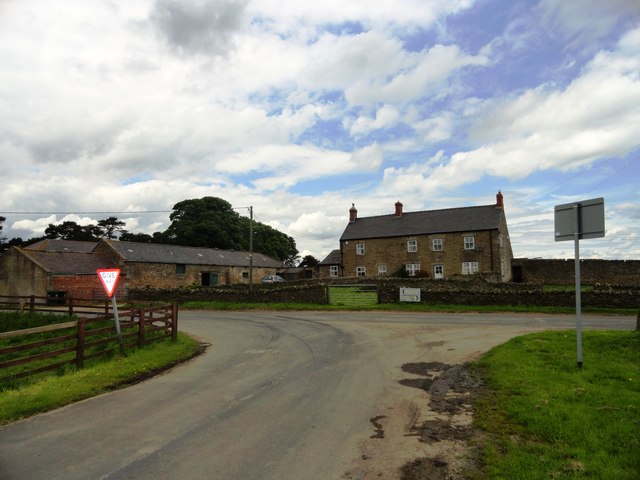
Greymare Hill farm
Large farm in SW Northumberland on the road between Kiln Pit Hill on the A68 to Wittonstall. This road runs on the ridge between the Derwent valley and Tynedale.
 Map © Crown Copyright")
TIP: Click the map for more Large scale mapping
- Grid Square
- NZ0455, 45 images (more nearby 🔍)
- Photographer
- Robert Graham (more nearby)
- Date Taken
- Wednesday, 20 June, 2012 (more nearby)
- Submitted
- Friday, 6 July, 2012
- Subject Location
-
OSGB36:
 NZ 0461 5550 [10m precision]
WGS84: 54:53.6529N 1:55.7792W - Camera Location
-
OSGB36: NZ 0464 5547
- View Direction
- Northwest (about 315 degrees)