2012
NY7884 : Floodplain of the North Tyne near Snabdaugh
taken 12 years ago, near to Lanehead, Northumberland, England
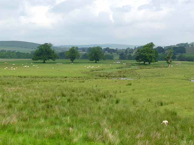
Floodplain of the North Tyne near Snabdaugh
An oxbow lake marks the former course of the river.
 Map © Crown Copyright")
TIP: Click the map for more Large scale mapping
- Grid Square
- NY7884, 29 images (more nearby 🔍)
- Photographer
- Oliver Dixon (more nearby)
- Date Taken
- Thursday, 5 July, 2012 (more nearby)
- Submitted
- Friday, 6 July, 2012
- Subject Location
-
OSGB36:
 NY 7886 8464 [10m precision]
WGS84: 55:9.3381N 2:19.9975W - Camera Location
-
OSGB36: NY 78952 84408
- View Direction
- North-northwest (about 337 degrees)