2012
SD9723 : Hebden Royd FP79 south of the site of Lane Top Farm
taken 12 years ago, near to Mankinholes, Calderdale, England
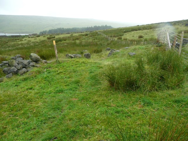
Hebden Royd FP79 south of the site of Lane Top Farm
The footpath comes along the left (east) side of the fence. If you stray eastwards you end up trying to use clumps of rushes as stepping stones above the waterlogged ground.
 Map © Crown Copyright")
TIP: Click the map for more Large scale mapping
- Grid Square
- SD9723, 63 images (more nearby 🔍)
- Photographer
- Humphrey Bolton (more nearby)
- Date Taken
- Monday, 2 July, 2012 (more nearby)
- Submitted
- Saturday, 7 July, 2012
- Subject Location
-
OSGB36:
 SD 9776 2333 [10m precision]
WGS84: 53:42.3835N 2:2.1246W - Camera Location
-
OSGB36: SD 9776 2337
- View Direction
- SOUTH (about 180 degrees)