2012
SJ4762 : Long Lane near Hargrave
taken 12 years ago, near to Hargrave, Cheshire West And Chester, England
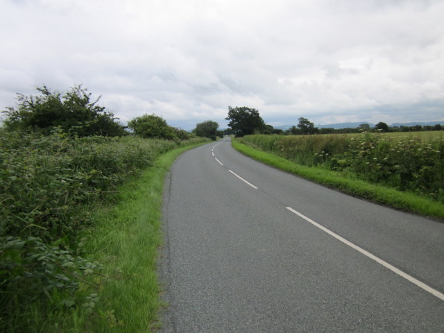
Long Lane near Hargrave
Long Lane runs alongside the Shropshire Union Canal at the point.
 Map © Crown Copyright")
TIP: Click the map for more Large scale mapping
- Grid Square
- SJ4762, 15 images (more nearby 🔍)
- Photographer
- Jeff Buck (more nearby)
- Date Taken
- Monday, 9 July, 2012 (more nearby)
- Submitted
- Monday, 9 July, 2012
- Subject Location
-
OSGB36:
 SJ 4728 6238 [10m precision]
WGS84: 53:9.3556N 2:47.3912W - Camera Location
-
OSGB36: SJ 4726 6239
- View Direction
- East-southeast (about 112 degrees)