2012
TQ9564 : Saxon Shore Way
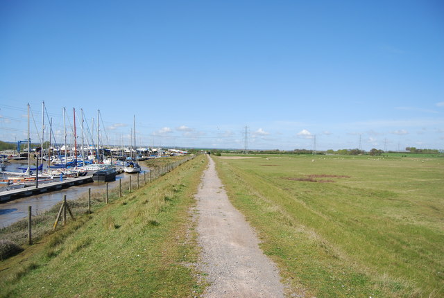
taken 12 years ago, near to Conyer, Kent, England
Saxon Shore Way
Saxon Shore Way
The Saxon Shore Way starts at Gravesend, Kent and traces the coast as it was in the Roman times as far as Hastings in East Sussex, 163 miles (262 km) in total. The Saxon Shore Way was originally opened in 1980, but has since been re-established, and in parts re-routed and extended. It follows the coastline of the South East as it was about 1500 years ago, long before the North Kent Marshes or the Romney Marsh came into existence. The Way takes its name, The Saxon Shore, from a line of fortifications built along the coastline as it was in the 3rd Century AD.
Swale Heritage Trail
A relatively flat 12 mile long walk across the Swale district on minor roads and field and orchard paths. It runs between Murston and Goodnestone.
 Map © Crown Copyright")
TIP: Click the map for more Large scale mapping
- Grid Square
- TQ9564, 56 images (more nearby 🔍)
- Photographer
- N Chadwick (more nearby)
- Date Taken
- Sunday, 22 April, 2012 (more nearby)
- Submitted
- Tuesday, 10 July, 2012
- Subject Location
-
OSGB36:
 TQ 9595 6471 [10m precision]
WGS84: 51:20.8608N 0:48.7427E - Camera Location
-
OSGB36: TQ 9598 6472
- View Direction
- West-southwest (about 247 degrees)