2012
SX0680 : Methodist Chapel, Trevilley Lane, St Teath
taken 12 years ago, near to St Teath, Cornwall, England
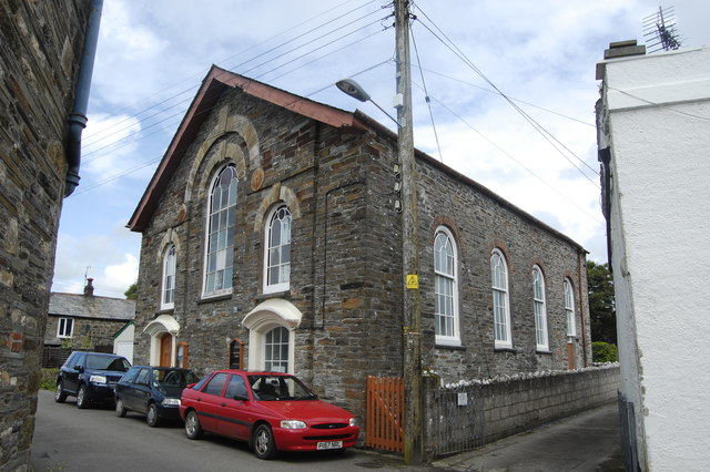
Methodist Chapel, Trevilley Lane, St Teath
 Map © Crown Copyright")
TIP: Click the map for more Large scale mapping
- Grid Square
- SX0680, 44 images (more nearby 🔍)
- Photographer
- Bill Harrison (more nearby)
- Date Taken
- Tuesday, 10 July, 2012 (more nearby)
- Submitted
- Tuesday, 10 July, 2012
- Subject Location
-
OSGB36:
 SX 0645 8066 [10m precision]
WGS84: 50:35.6100N 4:44.1584W - Camera Location
-
OSGB36: SX 0643 8064
- View Direction
- Northeast (about 45 degrees)