2012
SE2304 : The A629 on Hoyland Moor
taken 12 years ago, near to Thurlstone, Barnsley, England
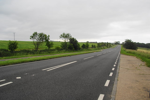
The A629 on Hoyland Moor
One of the main roads between Barnsley and Huddersfield.
 Map © Crown Copyright")
TIP: Click the map for more Large scale mapping
- Grid Square
- SE2304, 49 images (more nearby 🔍)
- Photographer
- Bill Boaden (more nearby)
- Date Taken
- Sunday, 1 July, 2012 (more nearby)
- Submitted
- Tuesday, 10 July, 2012
- Subject Location
-
OSGB36:
 SE 2384 0471 [10m precision]
WGS84: 53:32.3101N 1:38.5052W - Camera Location
-
OSGB36: SE 2378 0474
- View Direction
- East-southeast (about 112 degrees)