2007
TA1730 : Burnsall Farm, Preston
taken 17 years ago, near to Preston, East Riding of Yorkshire, England
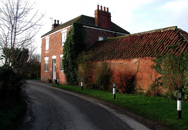
Burnsall Farm, Preston
Looking southwest along the winding Middle Lane in Preston's West End.
 Map © Crown Copyright")
TIP: Click the map for more Large scale mapping
- Grid Square
- TA1730, 61 images (more nearby 🔍)
- Photographer
- Paul Glazzard (more nearby)
- Date Taken
- Tuesday, 2 January, 2007 (more nearby)
- Submitted
- Wednesday, 3 January, 2007
- Subject Location
-
OSGB36:
 TA 178 304 [100m precision]
WGS84: 53:45.3992N 0:12.8842W - Camera Location
-
OSGB36: TA 178 304
- View Direction
- Southwest (about 225 degrees)