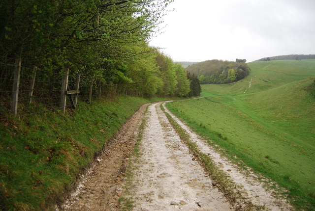
TQ0108 : Monarch's Way
taken 12 years ago, near to Arundel, West Sussex, England
You can take in one of the very best views of the South Downs from a walk through Arundel Park, part of the Arundel Estate.
The intriguing Hiornes Tower TQ0108 : Hiorns Tower breaks up the vast space of its 1,200 acres of open downland, and is one of the best examples of a folly in Britain.
A favourite filming location for Dr Who in the 1980s, the tower was built by Francis Hiorne to prove his abilities to the 11th Duke of Norfolk and was the setting for an invasion by Cybermen in 1988 for the cult BBC programme.
Arundel Park is lined with public footpaths and within its borders you'll find a former mill pond known as Swanbourne Lake which is now home to a variety of wildfowl.
Visitors can hire row boats and paddle around Swanbourne Lake or hire a self-drive motorboat and tour the River Arun.
Located near Arundel Castle, Arundel Cricket Ground offers views over the Weald is one of the most beautiful to be found anywhere in Britain.
The grounds were built by the 15th Duke of Norfolk in 1895 and first opened to the public in 1975. One popular annual event is the Duke of Norfolk's XI versus international visitors. There are also other matches throughout the cricket season.
The Monarch's Way is based on the route taken by King Charles II during his escape after defeat by Cromwell in the final battle of the Civil Wars at Worcester in 1651, when for six weeks the 21-year-old was hotly pursued by Parliamentary troops. It takes in Boscobel (the Royal Oak Tree), Stratford upon Avon, the Cotswolds, Mendips and the South Coast from Charmouth to Shoreham. The total route is 615 miles. The route is signposted by a crown in a tree (Royal Oak) and ship.
Website: Link
Wikipedia: Link
 Map © Crown Copyright")
- Grid Square
- TQ0108, 79 images (more nearby 🔍)
- Photographer
- N Chadwick (more nearby)
- Date Taken
- Sunday, 6 May, 2012 (more nearby)
- Submitted
- Friday, 13 July, 2012
- Subject Location
-
OSGB36:
 TQ 0107 0857 [10m precision]
WGS84: 50:52.0686N 0:33.9055W - Camera Location
-
OSGB36: TQ 0108 0853
- View Direction
- NORTH (about 0 degrees)