2012
TL5969 : Broads Road
taken 12 years ago, 3 km from Burwell, Cambridgeshire, England
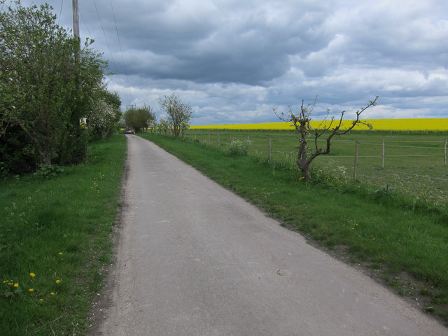
Broads Road
Minor road from Burwell. The paddocks on the right are recent, being part of the arable field beyond in aerial images.
 Map © Crown Copyright")
TIP: Click the map for more Large scale mapping
- Grid Square
- TL5969, 9 images (more nearby 🔍)
- Photographer
- Hugh Venables (more nearby)
- Date Taken
- Saturday, 5 May, 2012 (more nearby)
- Submitted
- Sunday, 15 July, 2012
- Subject Location
-
OSGB36:
 TL 5998 6940 [10m precision]
WGS84: 52:17.9657N 0:20.6827E - Camera Location
-
OSGB36: TL 5992 6934
- View Direction
- Northeast (about 45 degrees)