2012
SD2092 : A tarn on Tarn Hill
taken 12 years ago, near to Hoses, Cumbria, England
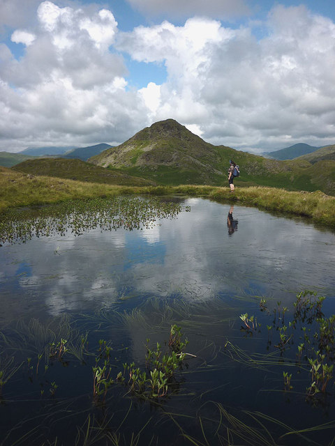
A tarn on Tarn Hill
Next objective, Stickle Pike (375m) in the near distance.
 Map © Crown Copyright")
TIP: Click the map for more Large scale mapping
- Grid Square
- SD2092, 20 images (more nearby 🔍)
- Photographer
- Karl and Ali (more nearby)
- Date Taken
- Saturday, 14 July, 2012 (more nearby)
- Submitted
- Monday, 16 July, 2012
- Subject Location
-
OSGB36:
 SD 2088 9212 [10m precision]
WGS84: 54:19.1105N 3:13.0696W - Camera Location
-
OSGB36: SD 2087 9208
- View Direction
- North-northeast (about 22 degrees)