2006
NJ4549 : Track to Mains of Auchoyanie
taken 17 years ago, 3 km from Keith, Moray, Scotland
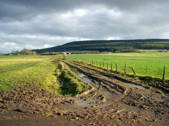
Track to Mains of Auchoyanie
This is the footpath from the top end of Dunnyduff wood towards the Mains of Auchoyanie. It can be muddy in the autumn.
 Map © Crown Copyright")
TIP: Click the map for more Large scale mapping
- Grid Square
- NJ4549, 10 images (more nearby 🔍)
- Photographer
- Julian Paren (more nearby)
- Date Taken
- November 2006 (more nearby)
- Submitted
- Thursday, 4 January, 2007
- Subject Location
-
OSGB36:
 NJ 45 49 [1000m precision]
WGS84: 57:31.9407N 2:54.7099W - Camera Location
-
OSGB36: NJ 4498 4949
- View Direction
- East-northeast (about 67 degrees)