2012
SO4288 : Cwm Head trig point
taken 12 years ago, near to Whittingslow, Shropshire, England
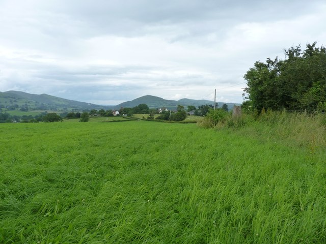
Cwm Head trig point
Lurking rather inconspicuously against the hedge on the right, there's a concrete trig pillar, sporting flush bracket S5430. The 1:25000 map is wrong here - the comms mast lies to the SW of the trig, not the NE as shown on the current mapping - which is why it's not visible in this shot.
 Map © Crown Copyright")
TIP: Click the map for more Large scale mapping
- Grid Square
- SO4288, 43 images (more nearby 🔍)
- Photographer
- Richard Law (more nearby)
- Date Taken
- Saturday, 14 July, 2012 (more nearby)
- Submitted
- Wednesday, 18 July, 2012
- Subject Location
-
OSGB36:
 SO 4295 8865 [10m precision]
WGS84: 52:29.5657N 2:50.5014W - Camera Location
-
OSGB36: SO 4293 8862
- View Direction
- Northeast (about 45 degrees)