2012

ST1500 : A30, Turk's Head

taken 12 years ago, near to Honiton, Devon, England
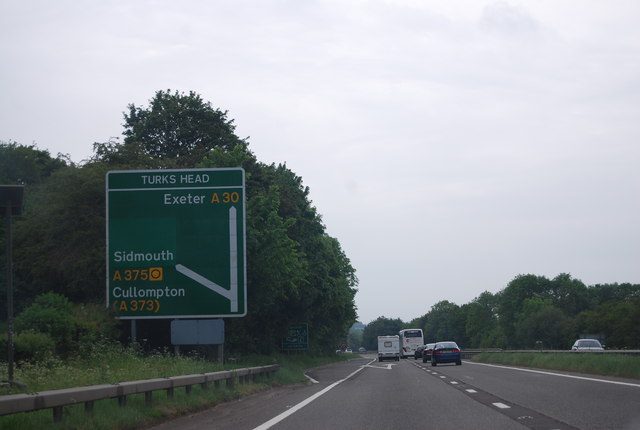
A30, Turk's Head
A30, Turk's Head
The A30 is 284 miles long, from central London to Land's End, historically known as the Great South West Road. The M3 and A303 now are the preferred route for most travellers. Only part of the road is still a trunk road.
Wikipedia: LinkExternal link

See other images of A30 Road

Creative Commons Licence [Some Rights Reserved]   © Copyright N Chadwick and licensed for reuse under this Creative Commons Licence.
Geographical Context: Roads, Road transport
This photo is linked from: Automatic Clusters: · A30 [10] ·
1:50,000 Modern Day Landranger(TM) Map © Crown Copyright
+
+
1:50,000 Modern Day Landranger(TM) Map © Crown Copyright
TIP: Click the map for more Large scale mapping
Grid Square
ST1500, 69 images   (more nearby 🔍)
Photographer
N Chadwick   (more nearby)
Date Taken
Saturday, 2 June, 2012   (more nearby)
Submitted
Wednesday, 18 July, 2012
Subject Location
OSGB36: geotagged! ST 1503 0043 [10m precision]
WGS84: 50:47.8308N 3:12.4215W
Camera Location
OSGB36: geotagged! ST 1507 0049
View Direction
Southwest (about 225 degrees)
Clickable map
+
NW N NE
W Go E
SW S SE
Image classification(about): Geograph
This page has been viewed about 63 times
You are not logged in login | register