2012
NH5963 : The Cromarty Firth
taken 12 years ago, near to Ardullie, Highland, Scotland
This is 1 of 2 images, with title starting with The Cromarty in this square
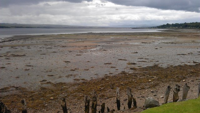
The Cromarty Firth
The tide was out but the flotsam shows how far it can come up the beach. The Cromarty Bridge is in the distance.
 Map © Crown Copyright")
TIP: Click the map for more Large scale mapping
- Grid Square
- NH5963, 68 images (more nearby 🔍)
- Photographer
- Alasdair MacNeill (more nearby)
- Date Taken
- Wednesday, 11 July, 2012 (more nearby)
- Submitted
- Thursday, 19 July, 2012
- Subject Location
-
OSGB36:
 NH 5984 6331 [10m precision]
WGS84: 57:38.2715N 4:20.9654W - Camera Location
-
OSGB36: NH 5994 6353
- View Direction
- South-southwest (about 202 degrees)