2007
NZ0999 : River Coquet at Slidden Braes
taken 17 years ago, near to Pauperhaugh, Northumberland, England
This is 1 of 2 images, with title River Coquet at Slidden Braes in this square
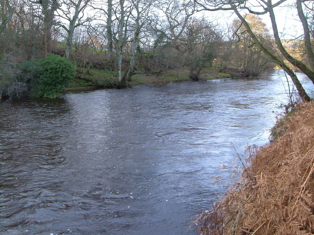
River Coquet at Slidden Braes
Looking upstream. The Coquet leaves its restricted valley below Rothbury and begins flowing through a small floodplain. Here it is confined by the wooded slopes of Slidden Braes on the southwest bank.
 Map © Crown Copyright")
TIP: Click the map for more Large scale mapping
- Grid Square
- NZ0999, 46 images (more nearby 🔍)
- Photographer
- Derek Harper (more nearby)
- Date Taken
- Monday, 1 January, 2007 (more nearby)
- Submitted
- Friday, 5 January, 2007
- Subject Location
-
OSGB36:
 NZ 0906 9995 [10m precision]
WGS84: 55:17.6150N 1:51.5325W - Camera Location
-
OSGB36: NZ 0909 9993
- View Direction
- Northwest (about 315 degrees)