2012
NU2014 : View across a wheatfield
taken 12 years ago, near to Denwick, Northumberland, England
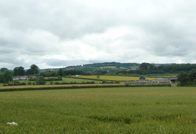
View across a wheatfield
Towards Goldenmoor farm on the right and Denwick village on the left.
 Map © Crown Copyright")
TIP: Click the map for more Large scale mapping
- Grid Square
- NU2014, 70 images (more nearby 🔍)
- Photographer
- Russel Wills (more nearby)
- Date Taken
- Tuesday, 24 July, 2012 (more nearby)
- Submitted
- Tuesday, 24 July, 2012
- Subject Location
-
OSGB36:
 NU 2036 1464 [10m precision]
WGS84: 55:25.5147N 1:40.7921W - Camera Location
-
OSGB36: NU 20683 14857
- View Direction
- Southwest (about 225 degrees)