2012
SD9624 : Footpath from Lee Bottom Road to London Road
taken 12 years ago, near to Mankinholes, Calderdale, England
This is 1 of 2 images, with title Footpath from Lee Bottom Road to London Road in this square
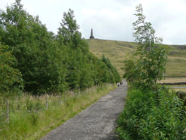
Footpath from Lee Bottom Road to London Road
The Stoodley Pike Monument beckons.
 Map © Crown Copyright")
TIP: Click the map for more Large scale mapping
- Grid Square
- SD9624, 90 images (more nearby 🔍)
- Photographer
- Humphrey Bolton (more nearby)
- Date Taken
- Saturday, 21 July, 2012 (more nearby)
- Submitted
- Wednesday, 25 July, 2012
- Subject Location
-
OSGB36:
 SD 9667 2429 [10m precision]
WGS84: 53:42.9009N 2:3.1160W - Camera Location
-
OSGB36: SD 9665 2429
- View Direction
- East-southeast (about 112 degrees)