2005
NT1409 : Blackhope Burn
taken 19 years ago, near to Roundstonefoot Burn [water Feature], Dumfries And Galloway, Great Britain
This is 1 of 3 images, with title Blackhope Burn in this square
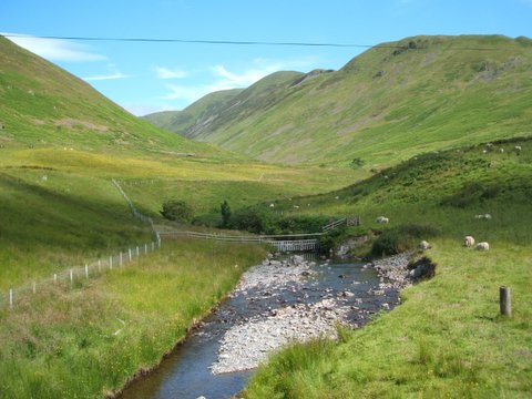
Blackhope Burn
Burn which flows into the Moffat Water
 Map © Crown Copyright")
TIP: Click the map for more Large scale mapping
- Grid Square
- NT1409, 43 images (more nearby 🔍)
- Photographer
- Norma Foggo (more nearby)
- Date Taken
- Sunday, 10 July, 2005 (more nearby)
- Submitted
- Monday, 25 July, 2005
- Subject Location
-
OSGB36:
 NT 14 09 [1000m precision]
WGS84: 55:22.3208N 3:21.0396W