2012
ST7345 : Footpath to play area
taken 12 years ago, near to Nunney, Somerset, England
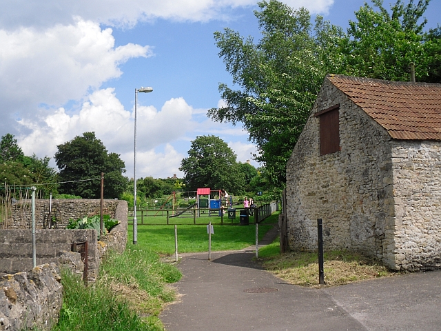
Footpath to play area
Path off the High Street, which continues round to the village hall.
 Map © Crown Copyright")
TIP: Click the map for more Large scale mapping
- Grid Square
- ST7345, 211 images (more nearby 🔍)
- Photographer
- Rose and Trev Clough (more nearby)
- Date Taken
- Sunday, 8 July, 2012 (more nearby)
- Submitted
- Sunday, 29 July, 2012
- Subject Location
-
OSGB36:
 ST 7369 4557 [10m precision]
WGS84: 51:12.5235N 2:22.6807W - Camera Location
-
OSGB36: ST 7367 4558
- View Direction
- East-southeast (about 112 degrees)