2012
SJ8291 : Approaching Princess Road
taken 12 years ago, near to Gatley, Manchester, England
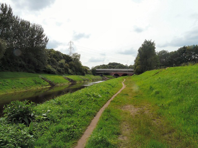
Approaching Princess Road
Along the Trans Pennine Road on the northern bank of the River Mersey approaching Princess Road. The view of Princess Road bridge is obscured by the bridge carrying the access slipway to the M60 motorway at junction 5.
 Map © Crown Copyright")
TIP: Click the map for more Large scale mapping
- Grid Square
- SJ8291, 110 images (more nearby 🔍)
- Photographer
- Gerald England (more nearby)
- Date Taken
- Saturday, 21 July, 2012 (more nearby)
- Submitted
- Sunday, 29 July, 2012
- Subject Location
-
OSGB36:
 SJ 8270 9105 [10m precision]
WGS84: 53:24.9581N 2:15.7051W - Camera Location
-
OSGB36: SJ 8280 9111
- View Direction
- West-southwest (about 247 degrees)