2007
NT5637 : Country track
taken 17 years ago, near to Earlston, Scottish Borders, Scotland
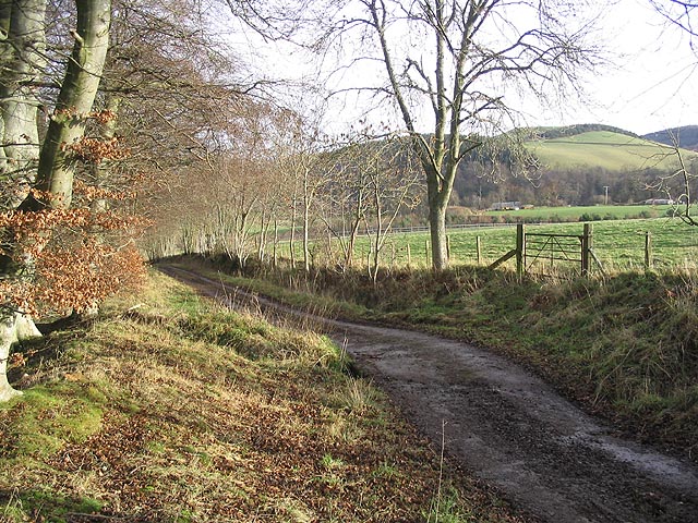
Country track
This track, beside Camp Plantation, is part of a network of paths around the town of Earlston.
 Map © Crown Copyright")
TIP: Click the map for more Large scale mapping
- Grid Square
- NT5637, 16 images (more nearby 🔍)
- Photographer
- Walter Baxter (more nearby)
- Date Taken
- Sunday, 7 January, 2007 (more nearby)
- Submitted
- Sunday, 7 January, 2007
- Subject Location
-
OSGB36:
 NT 5659 3765 [10m precision]
WGS84: 55:37.8281N 2:41.4609W - View Direction
- East-northeast (about 67 degrees)