2005
NS4677 : Anemometer, Fynloch Hill
taken 19 years ago, 4 km NNE of Bowling, West Dunbartonshire, Scotland
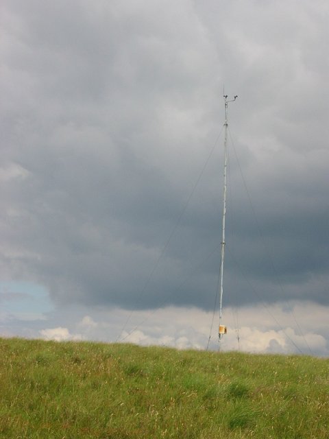
Anemometer, Fynloch Hill
Powerstation coming? As the hills are already crossed by power lines, this is perhaps a more sensible site than some of the subsidy grabs planned in the Highlands. (Bang on the grid line)
 Map © Crown Copyright")
TIP: Click the map for more Large scale mapping
- Grid Square
- NS4677, 14 images (more nearby 🔍)
- Photographer
- Richard Webb (more nearby)
- Date Taken
- Tuesday, 26 July, 2005 (more nearby)
- Submitted
- Tuesday, 26 July, 2005
- Subject Location
-
OSGB36:
 NS 46 77 [1000m precision]
WGS84: 55:57.9538N 4:27.6496W