2012
NH0914 : Descending south off A' Chràlaig (A' Chràileag)
taken 12 years ago, near to A' Chràlaig [hill or Mountain], Highland, Great Britain
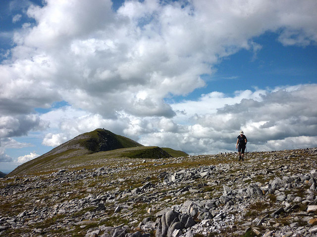
Descending south off A' Chràlaig (A' Chràileag)
The well-built cairn is visible on the summit.
 Map © Crown Copyright")
TIP: Click the map for more Large scale mapping
- Grid Square
- NH0914, 35 images (more nearby 🔍)
- Photographer
- Karl and Ali (more nearby)
- Date Taken
- Friday, 3 August, 2012 (more nearby)
- Submitted
- Monday, 6 August, 2012
- Subject Location
-
OSGB36:
 NH 0982 1427 [10m precision]
WGS84: 57:10.7818N 5:8.8812W - Camera Location
-
OSGB36: NH 0985 1423
- View Direction
- Northwest (about 315 degrees)