2012
SD4653 : Farm track near Batty Hill
taken 12 years ago, near to Cockerham, Lancashire, England
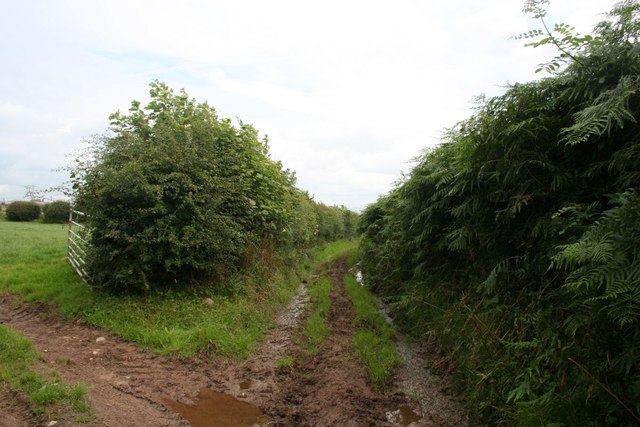
Farm track near Batty Hill
We'd got slightly lost (navigating on a 1:50000 map) and regained the public footpath via the gateway on the left.
 Map © Crown Copyright")
TIP: Click the map for more Large scale mapping
- Grid Square
- SD4653, 26 images (more nearby 🔍)
- Photographer
- Dave Dunford (more nearby)
- Date Taken
- Friday, 3 August, 2012 (more nearby)
- Submitted
- Wednesday, 8 August, 2012
- Subject Location
-
OSGB36:
 SD 4671 5322 [10m precision]
WGS84: 53:58.3373N 2:48.8344W - Camera Location
-
OSGB36: SD 4669 5321
- View Direction
- East-northeast (about 67 degrees)