2007
NZ2176 : Milkhope
taken 17 years ago, 3 km from Dinnington, Newcastle Upon Tyne, England
This is 1 of 3 images, with title Milkhope in this square
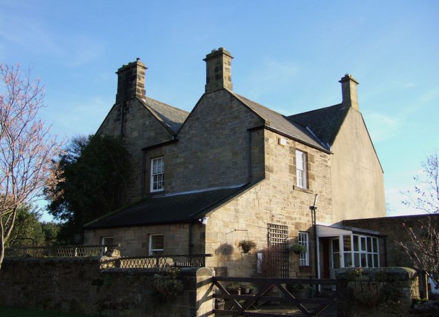
Milkhope
The solid farmhouse at the southeastern corner of the complex of converted farm buildings and cottages that forms the Milkhope Centre, on the Blagdon estate.
 Map © Crown Copyright")
TIP: Click the map for more Large scale mapping
- Grid Square
- NZ2176, 23 images (more nearby 🔍)
- Photographer
- Derek Harper (more nearby)
- Date Taken
- Tuesday, 2 January, 2007 (more nearby)
- Submitted
- Tuesday, 9 January, 2007
- Subject Location
-
OSGB36:
 NZ 2172 7613 [10m precision]
WGS84: 55:4.7490N 1:39.6800W - Camera Location
-
OSGB36: NZ 2170 7614
- View Direction
- East-southeast (about 112 degrees)