2012
SE0331 : Ruined building, Oxenhope Moor
taken 12 years ago, 3 km from Leeming, Bradford, England
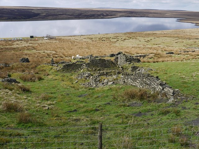
Ruined building, Oxenhope Moor
One of the 19th century cottages that formed the 'Fly' hamlet, near to the Warley Moor reservoir.
 Map © Crown Copyright")
TIP: Click the map for more Large scale mapping
- Grid Square
- SE0331, 20 images (more nearby 🔍)
- Photographer
- LDBrown (more nearby)
- Date Taken
- Thursday, 12 April, 2012 (more nearby)
- Submitted
- Tuesday, 14 August, 2012
- Subject Location
-
OSGB36:
 SE 0352 3159 [10m precision]
WGS84: 53:46.8377N 1:56.8838W - Camera Location
-
OSGB36: SE 0357 3160
- View Direction
- WEST (about 270 degrees)