2012
SP0512 : Path divides north of Chedworth
taken 12 years ago, near to Chedworth, Gloucestershire, England
This is 1 of 2 images, with title Path divides north of Chedworth in this square
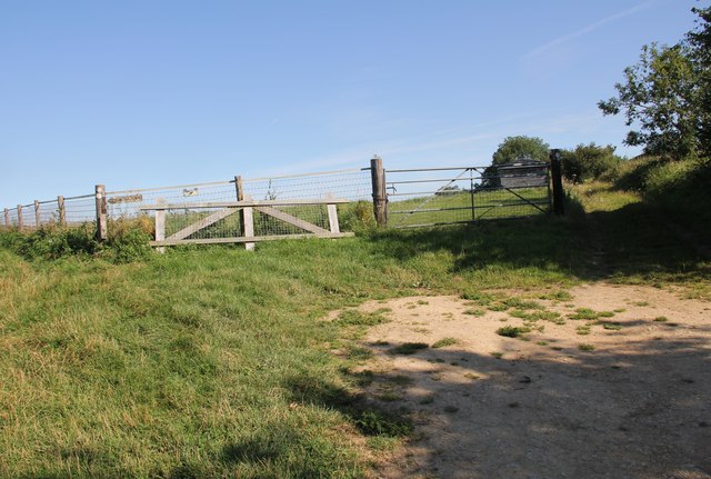
Path divides north of Chedworth
Bear right for Chedworth Woods, left for the disused Chedworth airfield.
 Map © Crown Copyright")
TIP: Click the map for more Large scale mapping
- Grid Square
- SP0512, 143 images (more nearby 🔍)
- Photographer
- Terry Jacombs (more nearby)
- Date Taken
- Friday, 10 August, 2012 (more nearby)
- Submitted
- Wednesday, 15 August, 2012
- Subject Location
-
OSGB36:
 SP 0552 1248 [10m precision]
WGS84: 51:48.6557N 1:55.2801W - Camera Location
-
OSGB36: SP 05535 12472
- View Direction
- Northwest (about 315 degrees)