2012
NO5498 : A lockable barrier by Aboyne Sewage Works
taken 12 years ago, near to Rosehill, Aberdeenshire, Scotland
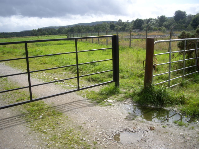
A lockable barrier by Aboyne Sewage Works
Controlling vehicular access to south bank of the River Dee from here. The barrier has superseded a previous cattle grid, see NO5498 : Cattle grid by Aboyne sewage farm.
 Map © Crown Copyright")
TIP: Click the map for more Large scale mapping
- Grid Square
- NO5498, 52 images (more nearby 🔍)
- Photographer
- Stanley Howe (more nearby)
- Date Taken
- Thursday, 16 August, 2012 (more nearby)
- Submitted
- Friday, 17 August, 2012
- Subject Location
-
OSGB36:
 NO 5424 9822 [10m precision]
WGS84: 57:4.3632N 2:45.3821W - Camera Location
-
OSGB36: NO 5424 9822
- View Direction
- EAST (about 90 degrees)