2012
NO4627 : The route of the dismantled railway track from Leuchars
taken 12 years ago, near to Tayport, Fife, Scotland
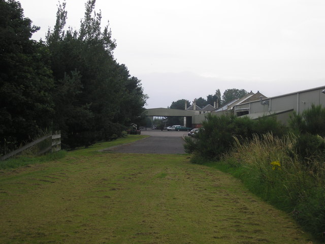
The route of the dismantled railway track from Leuchars
The view from the south of an industrial unit built on the former route of the railway track.
 Map © Crown Copyright")
TIP: Click the map for more Large scale mapping
- Grid Square
- NO4627, 48 images (more nearby 🔍)
- Photographer
- Sandy Gemmill (more nearby)
- Date Taken
- Tuesday, 14 August, 2012 (more nearby)
- Submitted
- Saturday, 18 August, 2012
- Subject Location
-
OSGB36:
 NO 464 274 [100m precision]
WGS84: 56:26.1438N 2:52.2486W - Camera Location
-
OSGB36: NO 464 274
- View Direction
- NORTH (about 0 degrees)