2007
TR2757 : 'Durlock Bridge' - small stream and field boundary, Durlock Road
taken 17 years ago, near to Staple, Kent, England
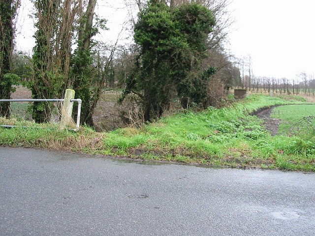
'Durlock Bridge' - small stream and field boundary, Durlock Road.
 Map © Crown Copyright")
TIP: Click the map for more Large scale mapping
- Grid Square
- TR2757, 51 images (more nearby 🔍)
- Photographer
- Nick Smith (more nearby)
- Date Taken
- Wednesday, 10 January, 2007 (more nearby)
- Submitted
- Wednesday, 10 January, 2007
- Subject Location
-
OSGB36:
 TR 275 575 [100m precision]
WGS84: 51:16.3210N 1:15.6178E - Camera Location
-
OSGB36: TR 274 576
- View Direction
- EAST (about 90 degrees)