2012
NM6433 : Forestry track, Glen Forsa, Mull
taken 12 years ago, 4 km SSE of Tomslèibhe, Isle of Mull, Argyll And Bute, Scotland
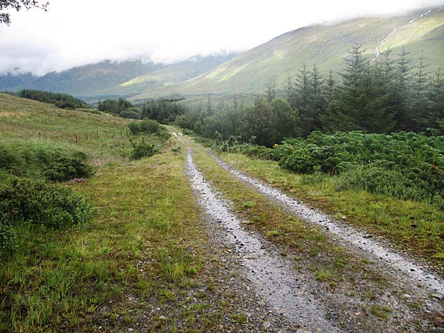
Forestry track, Glen Forsa, Mull
A short track from the A849 gives access to Beinn Talaidh
 Map © Crown Copyright")
TIP: Click the map for more Large scale mapping
- Grid Square
- NM6433, 4 images (more nearby 🔍)
- Photographer
- wrobison (more nearby)
- Date Taken
- Friday, 17 August, 2012 (more nearby)
- Submitted
- Monday, 20 August, 2012
- Subject Location
-
OSGB36:
 NM 6404 3341 [10m precision]
WGS84: 56:26.0215N 5:49.7349W - Camera Location
-
OSGB36: NM 6402 3330
- View Direction
- NORTH (about 0 degrees)