2012
TL1881 : Drainage ditch near Grange Farm
taken 12 years ago, near to Coppingford, Cambridgeshire, England
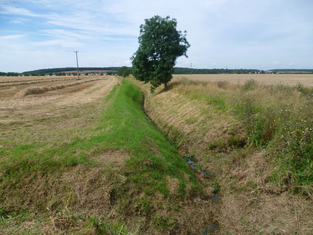
Drainage ditch near Grange Farm
This ditch is on the other side of the B1090 from Grange Farm. Archer's Wood, owned by the Woodland Trust, is on the horizon.
 Map © Crown Copyright")
TIP: Click the map for more Large scale mapping
- Grid Square
- TL1881, 11 images (more nearby 🔍)
- Photographer
- Marathon (more nearby)
- Date Taken
- Thursday, 23 August, 2012 (more nearby)
- Submitted
- Friday, 24 August, 2012
- Subject Location
-
OSGB36:
 TL 1878 8137 [10m precision]
WGS84: 52:25.0462N 0:15.2943W - Camera Location
-
OSGB36: TL 1885 8141
- View Direction
- Southwest (about 225 degrees)