SJ9091 : Under the M60
taken 12 years ago, near to Stockport, England
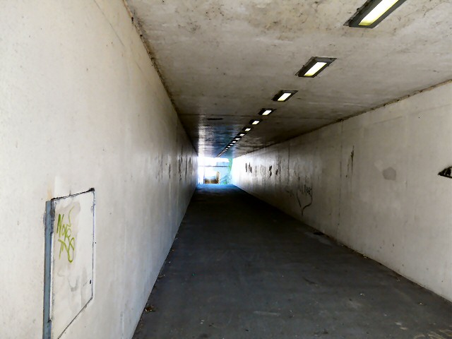
The Portwood roundabout is at junction 27 of the M60 motorway. There is a westbound entry slip road and an eastbound exit slip road. The other roads leading on to the roundabout are Tiviot Way, the A626 from Lancashire Hill; Crookilley Way, the new A560 built at the same time as the M60 from the westbound exit of the motorway; Carrington Road, the original A560 from Bredbury, now the B6104; St Mary's Way, the A626 from Marple; Great Portwood Street, the A560 out of Stockport. A busway allows Eastbound buses to cross the roundabout rather than go round it. In 2012 an additional road off the roundabout was constructed leading into the Spark Business Park. Inside the roundabout are the remains of the burial ground of Brunswick Wesleyan Methodist Chapel which stood on the site from 1848 to 1955. A series of subways and paths are provided for cyclists and pedestrians.
In 2019 some OS maps were showing the A626 through here renumbered as the A6188.
 Map © Crown Copyright")
- Grid Square
- SJ9091, 155 images (more nearby 🔍)
- Photographer
- Gerald England (more nearby)
- Date Taken
- Friday, 31 August, 2012 (more nearby)
- Submitted
- Monday, 3 September, 2012
- Subject Location
-
OSGB36:
 SJ 9019 9107 [10m precision]
WGS84: 53:24.9805N 2:8.9437W - Camera Location
-
OSGB36: SJ 9019 9106
- View Direction
- NORTH (about 0 degrees)