2012
NZ0813 : A66, Rokeby Park turning
taken 12 years ago, near to Greta Bridge, County Durham, England
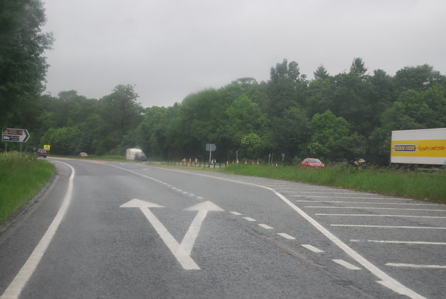
A66, Rokeby Park turning
 Map © Crown Copyright")
TIP: Click the map for more Large scale mapping
- Grid Square
- NZ0813, 35 images (more nearby 🔍)
- Photographer
- N Chadwick (more nearby)
- Date Taken
- Saturday, 23 June, 2012 (more nearby)
- Submitted
- Tuesday, 4 September, 2012
- Subject Location
-
OSGB36:
 NZ 0801 1371 [10m precision]
WGS84: 54:31.1175N 1:52.6665W - Camera Location
-
OSGB36: NZ 0806 1370
- View Direction
- West-northwest (about 292 degrees)