2012
NO2399 : Peat diggings
taken 12 years ago, 5 km NNW of Balnault, Aberdeenshire, Scotland
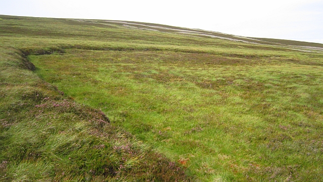
Peat diggings
The line on the hillside is the site of peat extraction from the extensive bogs on Tom Breac.
 Map © Crown Copyright")
TIP: Click the map for more Large scale mapping
- Grid Square
- NO2399, 10 images (more nearby 🔍)
- Photographer
- Richard Webb (more nearby)
- Date Taken
- Sunday, 2 September, 2012 (more nearby)
- Submitted
- Saturday, 8 September, 2012
- Subject Location
-
OSGB36:
 NO 2313 9907 [10m precision]
WGS84: 57:4.5723N 3:16.1774W - Camera Location
-
OSGB36: NO 2313 9905
- View Direction
- NORTH (about 0 degrees)